The main novelty is the adaptation of the procedure for claims to the new definition of permanent pasture contained in the Omnibus regulation.
The Ministry of Agriculture, Fisheries and Rural Development has modified this year the procedure for claims for the maintenance and updating of pastures in the Geographical Information System for the Identification of Agricultural Plots (Sigpac) to adapt it to the new definition of permanent pastures established by the Omnibus Regulation. The Sigpac, a register used to submit applications for aid to the Common Agricultural Policy (CAP), is a very useful tool that offers graphic support for the different plots and enclosures in Andalusia, including information on each of the agricultural uses into which they are divided.
The order regulating this process was published in the Official Gazette of the Regional Government of Andalusia (BOJA) on 13 February. Among the most important new features is the new method for modifying the Coefficient of Eligibility for Grassland (CAP) at the request of the person concerned, i.e. the coefficient determining the eligible area of permanent pasture for European aid. With the new definition given by the European Omnibus regulation, shrub and wooded pastures used as animal feed may be eligible even if grass or other herbaceous fodder is not predominant or is not present on such land.
In addition, the Regional Ministry is working on a proposal to be validated by the European Commission with a view to the 2019 campaign in order to increase the eligibility of wooded pastures and shrub pastures that are accessible and palatable for livestock.
Another of the updates, demanded by the fruit and vegetable sector, is that the deadline for the submission of amendments to the Sigpac concerning strawberry, red fruit, fruit and vegetable crops under plastic will be extended until 25 November each year. The rest of the applicants will have until May 31st to complete these procedures.
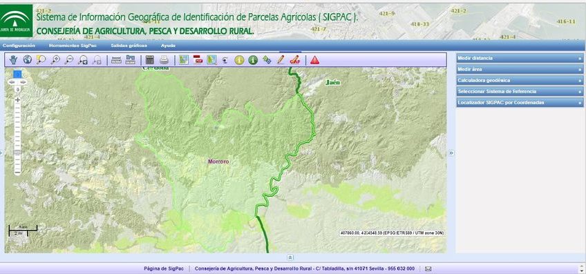
The Geographical Information System for Agricultural Plots is a public administrative register containing information on the plots eligible for Community area aid. It is configured as a geographical database that contains the geographical delimitation of the areas with the same crop or agricultural use together with information on the farming system (dry/irrigated), the slope, as well as environmental characteristics such as whether the area is located in Natura 2000 network areas, in areas vulnerable to nitrate contamination, in areas sloping to domestic use reservoirs or if it is within the appropriate formations.
Source: Junta de Andalucía